
SG01927-01967-2x1v 6300x6000 pixels 2 frame 2 column 1 row 41 image focus stack stitch blend A6000 30mm ND 0.9
enlarged vertical slice view image text section
After returning from the short trip into Yosemite along SR120, I hoped to return again for a day or two. On Halloween, Wednesday, since I was still somewhat weary from an all day public transportation trip up to The City on Tuesday, was not in the mood to go on a road trip but was wise enough to go through the motions of packing up gear. By noon indeed after lunch was feeling more motivated so was soon out the door and on my way east. I stopped on SR120 west of the park and noticed my Forester tail lights were stuck on even when my key was out of the ignition? Thus spent the rest of this short trip lifting up the hood and then removing a 15 ampere fuse that apparently was in series with those lights lest my battery drain down. And then when driving again would re-install the fuse. It was not until after the trip, back home, that upon searching the web, I found out that was due to my accidentally bumping a rocker switch on the steering column that I never used. The switch is there due to European regulations that require a vehicle be able to illuminate rear tail lights if it gets in trouble beside highways even without a key. Have since Gorilla taped that switch permanently off. I spent the night sleeping along the Evergreen Road just outside the park.

SG01866-85 4000x6000 pixels 1 frame 20 image focus stack blend A6000 30mm
enlarged vertical slice view
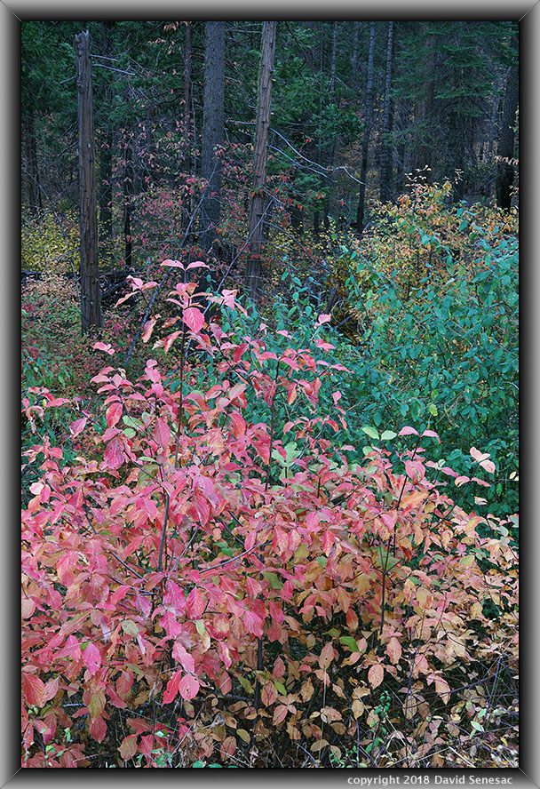
Dawn the next morning of Thursday November 1, I organized gear then drove off and into the park up to the Hazel Green Creek area where I found dogwood were no longer as vibrant as hoped so just worked this one subject above that I had just done a few days earlier of a colorful Pacific dogwood understory. Breezes were calmer than during the work a week before, however I still spent several hours in post processing tediously fixing the image using Zerene Stacker.
After that, I drove back west and then down the short spur road to the Hodgdon Meadow campground and parked. Only authorized Yosemite park vehicles are allowed to continue on that road that goes to a small maintenance and residence community servicing that west end of the park. I continued down that single lane degenerating paved Tuolumne Grove Road that lack of tire marks indicating even official vehicles are no longer using it. About 6 miles east of where I parked is the Tuolumne Grove of giant sequoias and another mile and one half SR120 at Crane Flat. A mile and one half from my parking spot, the road crosses North Crane Creek at 4530 feet and that was where I ventured away from the road and up along the stream. All this area had been burned by the horrible Rim Fire. Most of the large trees were still standing and alive while most of the smaller diameter trees and brush had burned off leaving an obstacle course of blackened branches, stumps, and logs everywhere. Enough time had passed that many of the Pacific dogwood had root sprouted with numbers of willow like narrow trunks. Additionally were areas of dense ceanothus and newly sprouting evergreens ankle to waist height, especially incense cedar, sugar pine, white fir, and yellow pine. Where I left the road, noticed trout in a couple pools but did not see any signs of fish higher up.
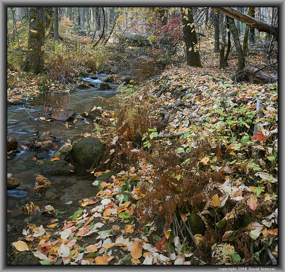
The summer after the Rim Fire, I'd done some work wandering short distances from roads shooting lupine areas but this time I would be hiking more deeply into a burned forest. As someone that has ventured into many difficult to travel through landscapes, this bushwhack would just be another learning adventure I was confident I could use my gymnastic skills to maneuver through. There were less dogwood trees than I had expected and most of them were past color peak with a lot of leaves on the ground. It was also obvious that I was probably the first person to hike into the area since the fire. That led me to look for stream areas with dense accumulations of leaves on the ground. After shooting a modest image looking downstream, further along shot the image at page top that is rather representative of what it all looked like. Notice the dried brown ferns leaves frame right. The creek flow was low enough that I could manage to cross and re-cross at many spots that was important as I was regularly having to avoid areas of huge burned log jumbles, boulders, and steeper stream banks.

SG01987-01914-2x1v 6400x6000 pixels 2 frame 2 column 1 row 18 image focus stack stitch blend A6000 30mm
enlarged vertical slice view
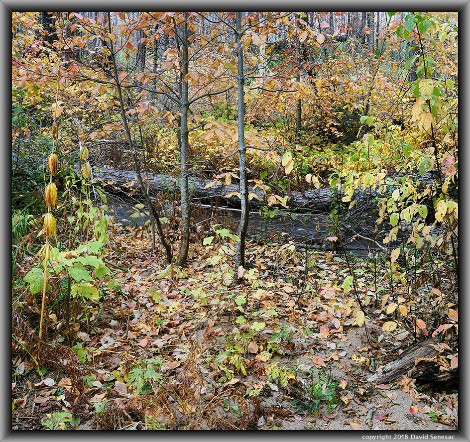
This next subject above was a particularly leafy zone that provides an interesting visual. Note the stream sand frame lower right. At frame left are a couple drying stalks from leopard lily plants and shorter thimbleberry plants. There were many pools in the small stream full of fallen logs so would expect trout will expand up from the road crossing given that excellent cover for at least a mile. In the future during fall I'll consider returning maybe a couple weeks earlier when dogwood leaves have more saturated color with a better mix of still green leaves. However the forest floor won't have as many interesting fallen leaves. In any case, there are other similar elevation remote streams in this zone of the park that I've identified worth exploring that probably never see people.

SG02018-02045-2x1v 7500x6000 pixels 2 frame 2 column 1 row 28 image focus stack stitch blend A6000 30mm ND 0.9
enlarged vertical slice view
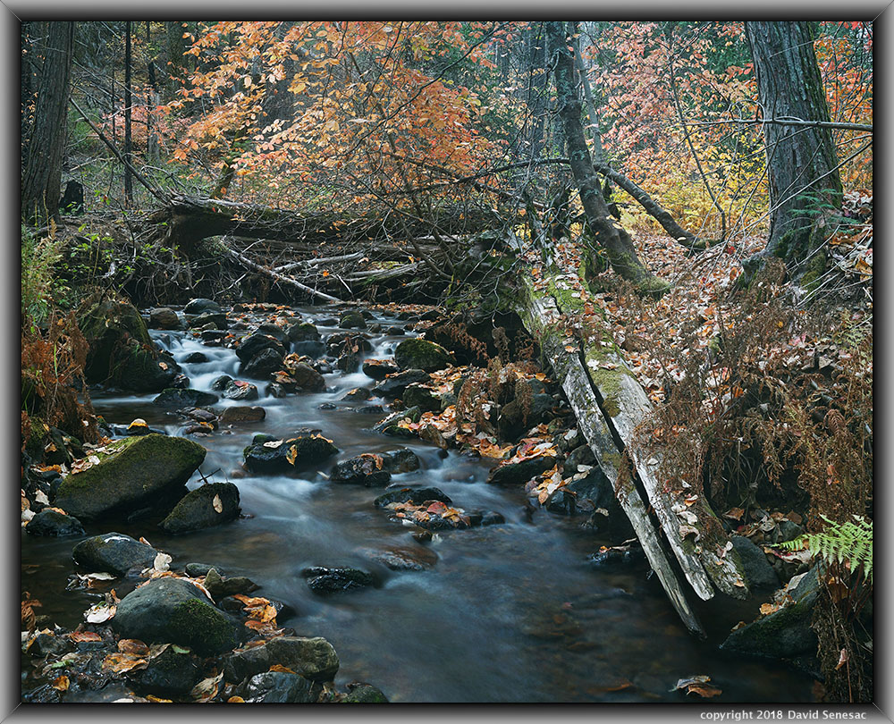
This last image above shows a rocky stream section with more down logs. I used a 0.9 neutral density filter to slow the shutter speed enough to nicely smooth out water flow areas. By this time of morning at 11am, sunlight was increasingly causing overly contrasty areas in the background so it was time to head back. I shot one more modest subject, then tried to climb up slopes to the north of the stream to reach the old road, however I happened to be at a section where the road is furthest from the creek and eventually gave up because bushwhacking through dense newly rising ceanothus was difficult and I wondered if the topo shown on the map was still there or that heavy rains after the Rim Fire had buried the road. Later back at home with Google Earth, I found I would have crossed the road if I had endured another hundred yards. It did take quite some time to reach my vehicle. I'd hiked a total of about 3 miles away from the car however due to all the debris I went around, probably added another 2 miles so had done an 8 mile or so hike. It was early afternoon and I was intent to drive all the way home before the sun set as I did not want to be on freeways in the dark with my tail light braking non-functional.
2018 Trip Chronicles: Contents